
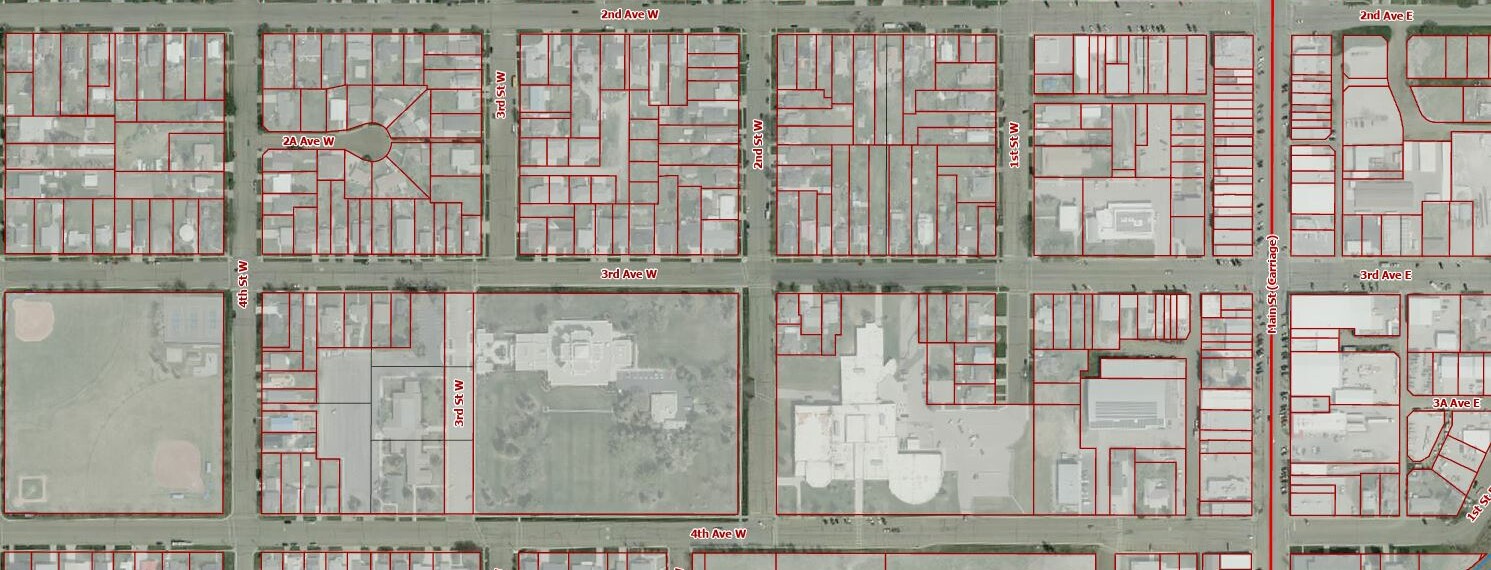
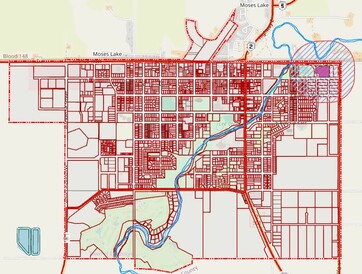
ORSSC GIS MAPS
(Oldman River Regional Services Commission Geographic Information System)
The following link is to a public portal that provides information regarding Cardston's land use bylaw, including land use zones, property boundaries, legal descriptions of properties, and total assessed values.